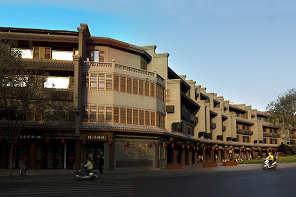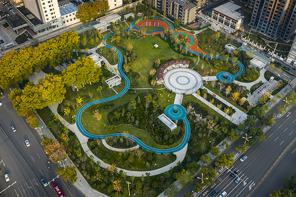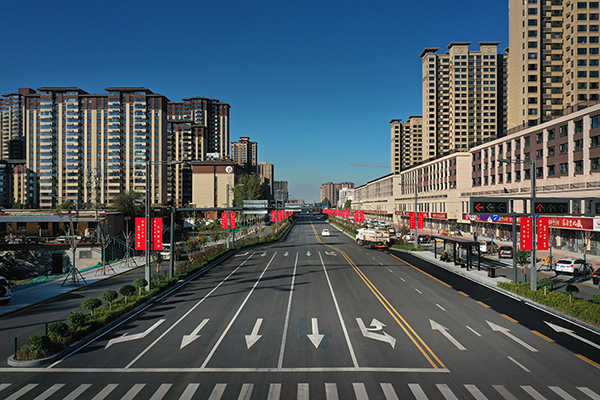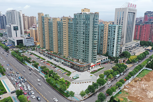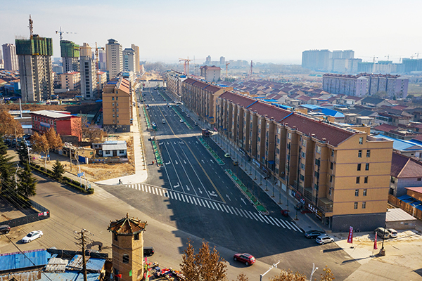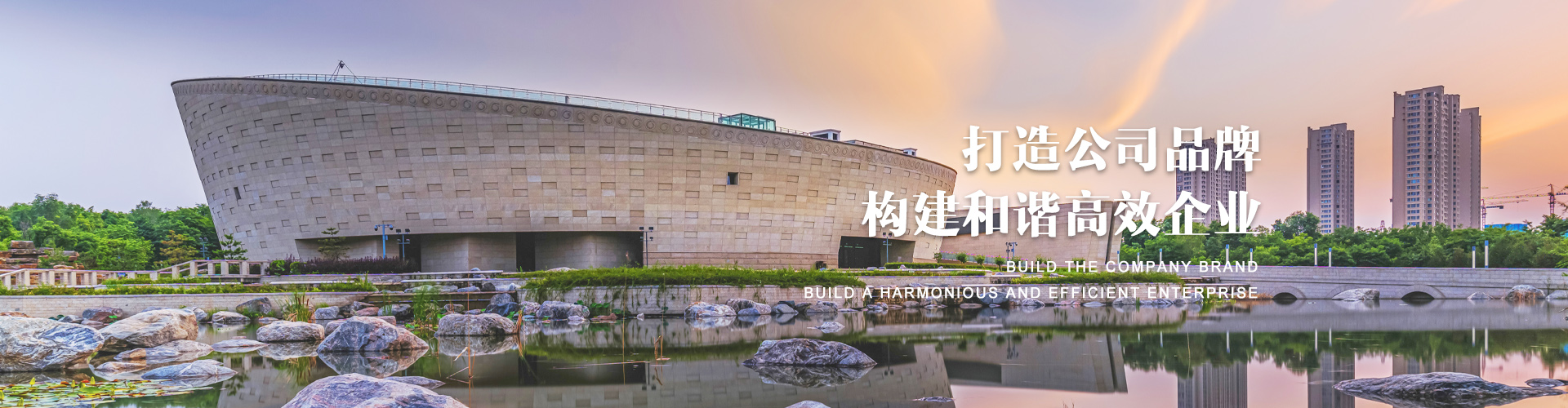


公司以城市建设为己任,在改革中进步,在发展中前进
拥有多项自建项目,并与中铁、中建、省五建、省水、中铁十局、北京五建等达成多项合作
公司拥有国内外先进的机械施工设备、完善的管理制度、专业的技术人员

7X24小时服务体系,公司设有独立施工工程部门,各部门协调配合,
充分满足客户交期要求,任何问题第一时间为您解决,保障客户利益。
公司本着以诚为本的工作态度,得到了广大客户的认同和选择
我们也以高效的工作效率和出色的工作质量打动着每一位服务过的客户
最大程度让利于客户。
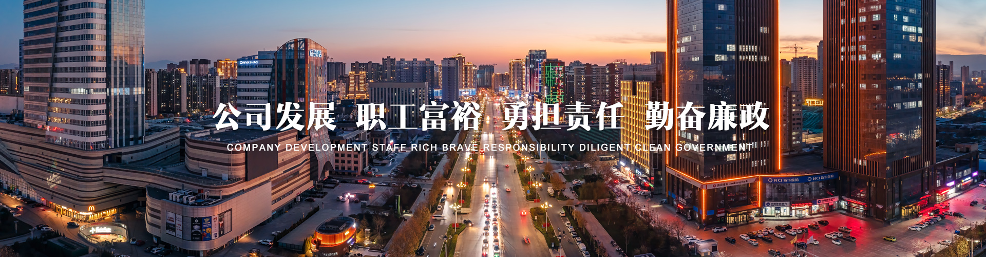
公司本着“务实创新、诚信服务、合作共赢、奉献社会”的原则,做到“工程质量好,施工速度快”。诚信务实是我们的品质、诚实奉献是我们的作风。
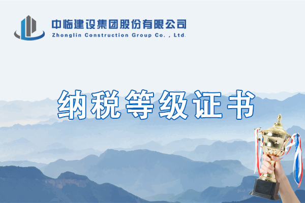
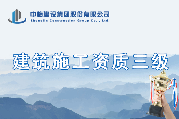
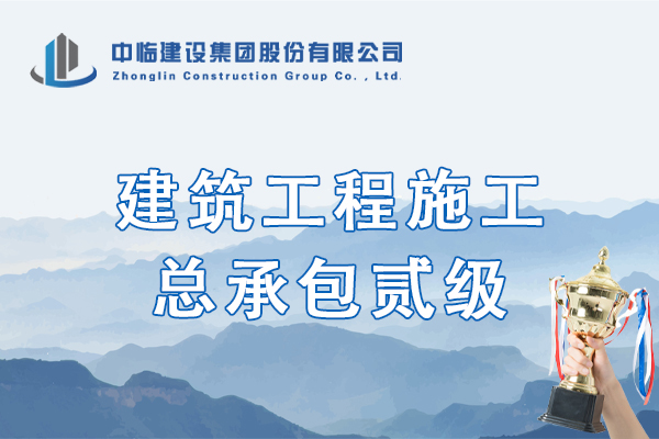
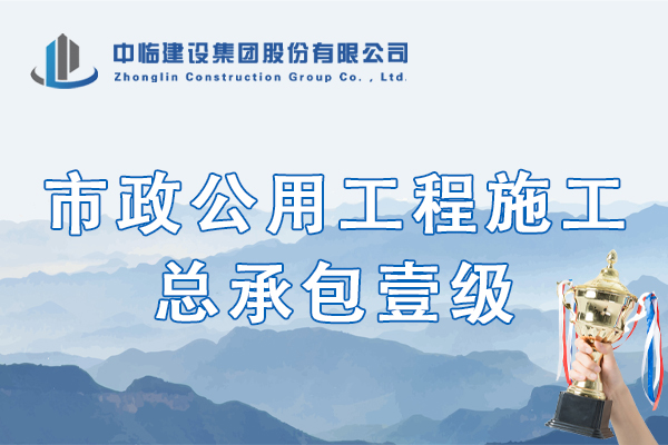
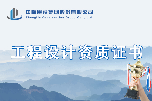
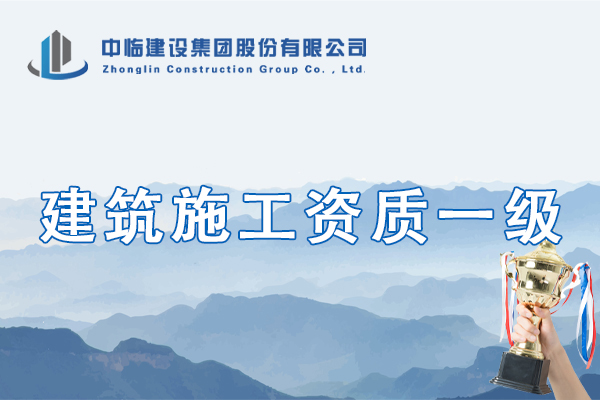
公司资质涵盖两大类,一是施工资质,二是工程设计资质。公司先后获得了临汾市城市重点工程建设单位、山西省市政工程质量管理先进集体、山西省市政工程优质奖、山西省市政工程“金杯示范工程”等一些列荣誉
中临建设集团股份有限公司前身为临汾市市政设施养护管理处(1988年成立),注册资金壹亿元,公司内设行政部、财务部、工程科技部、采供部、结算审计部、法务纪检部和设计院7个部门,3个工程分公司,1个控股子公司和6个全资子公司。
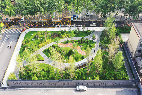
公司资质涵盖两大类,一是施工资质:市政公用工程施工总承包壹级和房屋建筑工程施工总承包贰级,公路工程、水利水电工程、机电工程施工总承包叁级,以及地基基础工程、钢结构工程、城市及道路照明工程、公路路基工程、公路路面工程和环保工程专业承包叁级资质;二是工程设计资质:市政行业工程设计乙级、建筑行业工程设计乙级、风景园林工程设计专项乙级、环境工程(水污染防治工程)专项乙级资质。